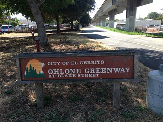
Along with the 'challenge' of doing it.. (it's entire length is less than 6miles despite traveling through 4 cities.. it's northern most point located in Richmond) I wanted to see what was to be seen along the way. I started my adventure Thursday morning by BART-ing to El Cerrito Del Norte, where the Safeway provided a clean pitstop & supply pick up (since moving I've not located my Brita water bottle.)
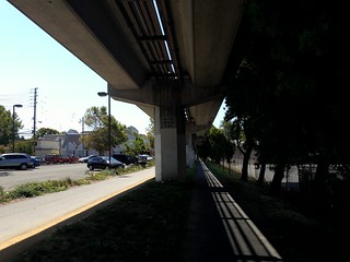
For some of the path the North & South-bound trails are seperate.. but eventually it all becomes one big paved pathway with a small side trail for dogs to run along:
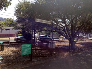
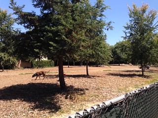
Opened in 2010, Bruce King Memorial Dog Park is named after an El Cerrito maintenance/engineer Manager who passed the year before the park opened.
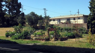
El Cerrito Community Garden is just one of the gardens I passed on my walk:
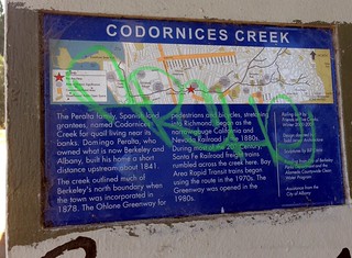
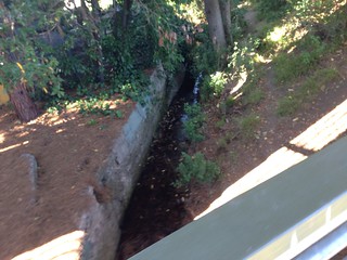
Codornices Creek "overpass" near the Albany border:
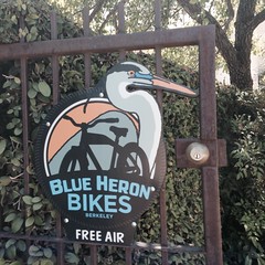
Nice to know you can get "free air" in Berkeley:
I *heart* the West Berkeley cows that cross along the Greenway near the North Berkeley BART:

Something to be aware of before deciding to do a walk like this:
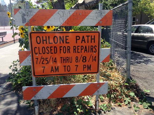
my timing was very good!
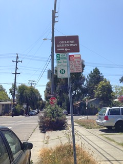
The Ohlone Greenway stops and starts on the opposite side of the North Berkeley BART:
near Delaware Street:
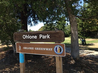
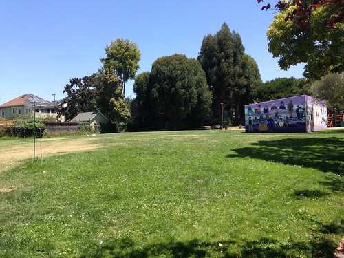
The walk brings you to Ohlone Park on Haste:
Here you'll find places to throw a frisbee, have a picnic, sit in a big sun patch, or have some fun with your dog:
I ended my walk after taking several pix of the Ohlone Park Mural.. which are in this set ..as well as my Mural set..
My route & stats:
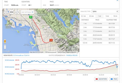
about 5.5 miles..
No comments:
Post a Comment